

What a mangrove is, and what it does
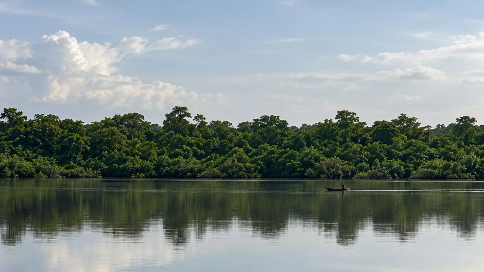
A mangrove is a forest of mangrove trees that grows along the coast, in coastal lagoons and in bays sheltered from the force of the waves. It lives on a balance between water and salt, which Colombia's Law 2243 of 2022 calls the halohydric balance, and it is shared by plants and animals of both land and water.
What it does
According to Colombia's Ministry of Environment, mangroves provide fish, mollusks, crustaceans, salt, honey, wood and fiber, and their channels serve as waterways. They help hold back erosion, floods and storms, regulate local temperature and rainfall, and shelter many species.
Colombia ranks sixteenth in the world for mangrove area. Its mangroves store about 462 million tonnes of CO2 equivalent, and 90.2 percent of that carbon is in the soil. Of the country's mangroves, 72.3 percent are on the Pacific coast and 27.6 percent on the Caribbean.
Colombia's mangroves
Resolution 1263 of 2018 recognizes eight mangrove species in the country. On the Caribbean coast grow the red, black, white, buttonwood and tea mangroves. The red mangrove stands at the water's edge on stilt-like roots, which makes it one of the strongest protectors of the shore. The black mangrove sends breathing roots up out of the soil and tolerates water saltier than the sea.
What the law protects
Resolution 1263 of 2018 declares mangroves of special ecological importance. Law 2243 of 2022 was passed to protect and restore them, and it does not allow mining, oil and gas, aquaculture, industrial trawling or any activity that changes the use of the land, in the mangrove or in its buffer and transition zones. The same law set July 26 as Mangrove Day.
What has been lost near Cartagena
Between 1984 and 2020, Colombia's Caribbean coast lost about 25,000 hectares of mangrove, 25.8 percent of what it had. In the Ciénaga de la Virgen, in the north of Cartagena, mangrove cover fell from 1,060 hectares in 1973 to 775 in 2003. The lagoon itself lost some 300 hectares in about thirty years to sedimentation, mangrove felling and the filling of its shores for construction.
What we choose not to touch
What is sacred is not what we build. It is what we choose not to touch. Our commitments to the land include building among the trees without replacing the landscape, and leaving the beach, the lagoon and the wildlife that lives there untouched.
The inland lagoon is explored by canoe, by day or at sunset. To see it in person, book a visit or look through the photographs of the lagoon.